


• Seahaven Towers
• Haniport Levee
• Angeline Crossing
• Delvenor Beacon
• Trek
• Dungeon
• Empire

• Terminus
• Grafiker
• Classic
• Contessa

• Paint
• Write
• Acoustiq
• Draw
• Filigree

• Tome
• Gamer
• Orbit
• Atlas
• Chronology

• Editor
• Player
• Reader
• Viewer
• Calc

Atlas, a Guildhall Lore applet
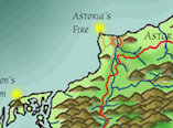
Atlas is an applet dedicated to constructing and editing the maps of Longwood and the world of Tyr Pell. When we first started gaming in Longwood we relied on a 70 inch square map on my wall at home. That got cut into pieces, scanned, reduced, and reprinted to go back up on the wall at a new location. Some of the scanned images were redone, and the quality was excellent compared to the hand drawn versions. But the redrawing process was tedious, and the task of filling out the entire map was daunting. Many of the logical elements of the map already existed - mountain, rivers, ocean borders, cities, and forests among them. But colorizing those elements takes a lot of time. So the idea is, teach Atlas to do that work for me. This approach has the advantage of adding multiple levels of resolution, zooming out to see the entire planet or zooming in to see the local layout of a city. It remains to be seen how feasible this plan is, but it sure would be nice to have.
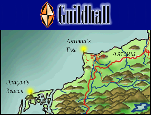
So here's where it is at the moment. The first image uses scans of the existing map as the background, with saturation adjusted to fade it somewhat from its true quality.
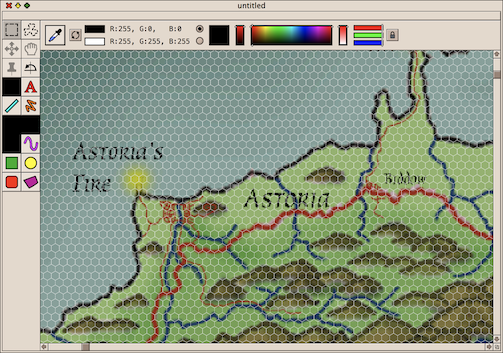
This second image shows the background map darkened.
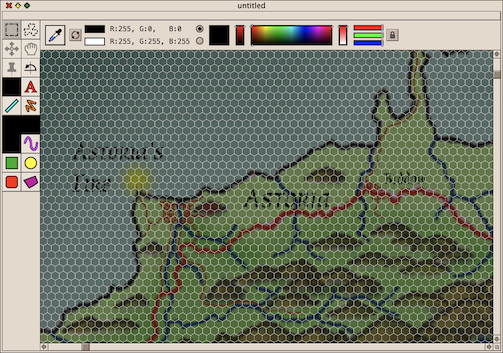
The background map can be removed entirely or viewed all by itself. There are three more layers of interest in the composition. One is the hex grid, shown in both images. A second layer is the graphics elements that will be drawn when the tools palette is more functional (and, for that matter, complete). A third layer will be a painted terrain layer following the hex grid. The painted terrain layer will establish the crude elevation of each hex in the image.
If I can pull it off, the magic will happen in the final compositing. The terrain boundaries will be adjusted based on certain identified vector graphics elements, for example a shoreline. I'll probably throw in some seed based pseudo-randomness to make the boundaries more interesting and natural. After the boundaries are established, I'll interpolate the elevation information to give it all a pleasing look.
When the background terrain is assembled, graphic elements such as borders, roads, rivers, lakes, cities, and such will be added. An export to a png file will ready the map for inclusion as artwork for novels in progress.
Next Steps
- Get the terrain brushes working and make drawn terrain persistent in the document
- Get the path editor working so shorelines, rivers, roads, and other features can be added to the graphics layer